1. Everyone in the class was given a map of a specific section of campus
2. We were given instructions to go to this area and do three things:
-Research the area (go to location and explore it)
-Find a pattern
-Find a creative way to map this pattern
My Project:
My location on campus was Drumheller Fountain and the buildings surrounding it including Guggenheim, Bagley, Electrical Engineering, Johnson, and Mary Gates Hall. I arrived to do my research during a passing period and observed the mass amount of people that walk through this area in between classes. I tried to find patterns among the people who passed me, but found it more interesting how some pathways through this location are very heavily used compared to others. This is where I got the inspiration to map the foot traffic that goes through this area during passing period. I also decided to include the duck and geese i saw in the fountain because the two birds seemed to keep separate in two different groups and traveled around together.
The map itself had to be 48x30" in the media of our choice. I used acrylic paint on cardboard and collage to create my piece. The style I used for the painting was inspired by Australian aboriginal art.


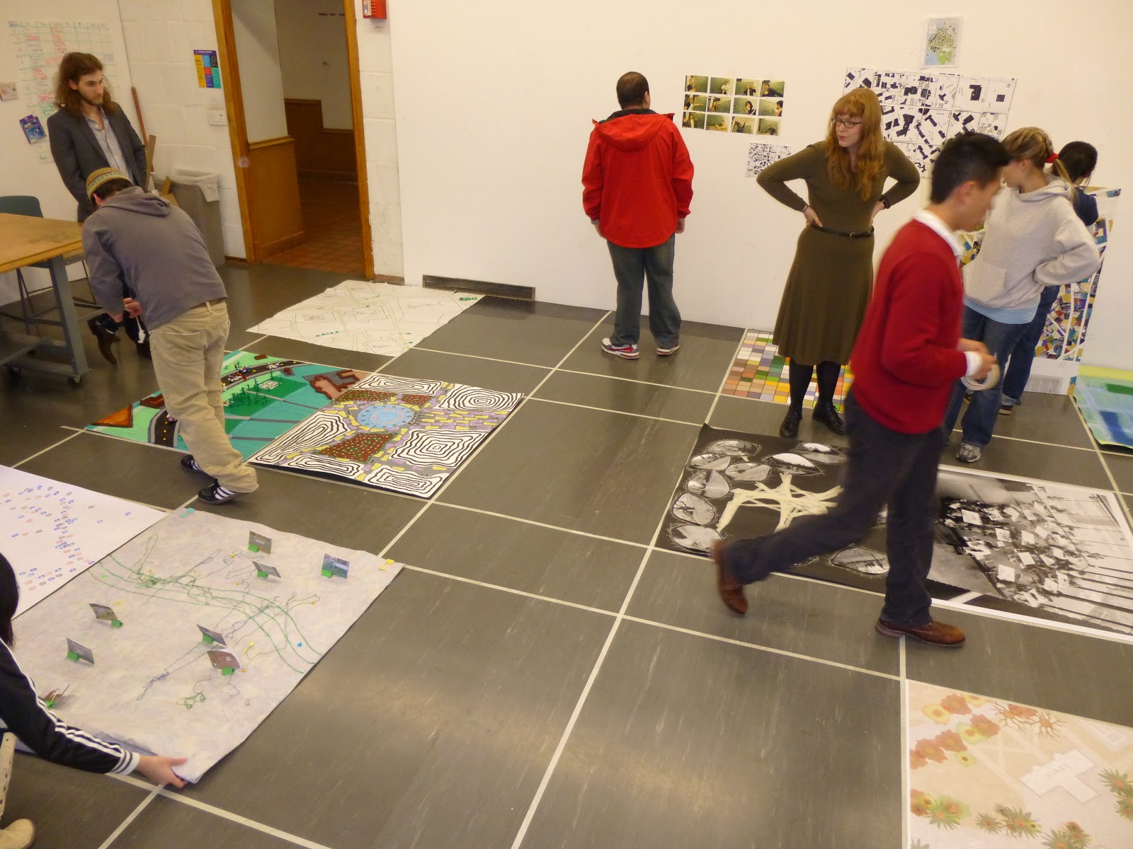
Key:
.Purple and Yellow feet - students
.Black feet - People who are not students/tour group
.Blue circle - Fountain
.Black and white concentric shapes - buildings
.Red and green concentric shapes - vegetation (lawns, flowers, and trees)
.Black and orange bird feet - Geese and ducks in the fountain
During class, everyone brought their maps and laid them down to create the greater map of UW. I really liked seeing how individual each map was and how everyone had a completely different idea of how to depict their area.
No comments:
Post a Comment